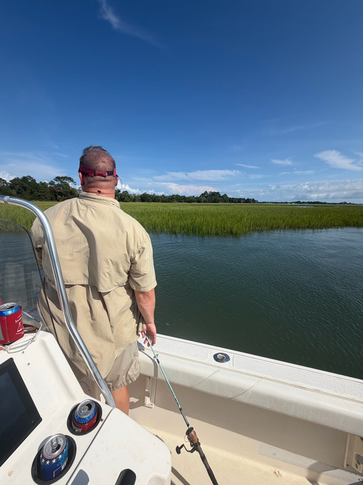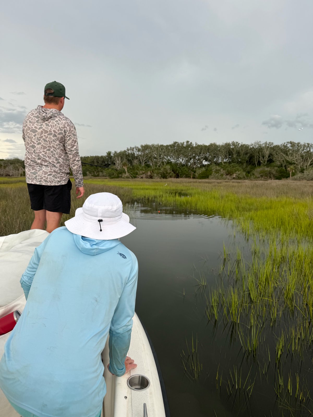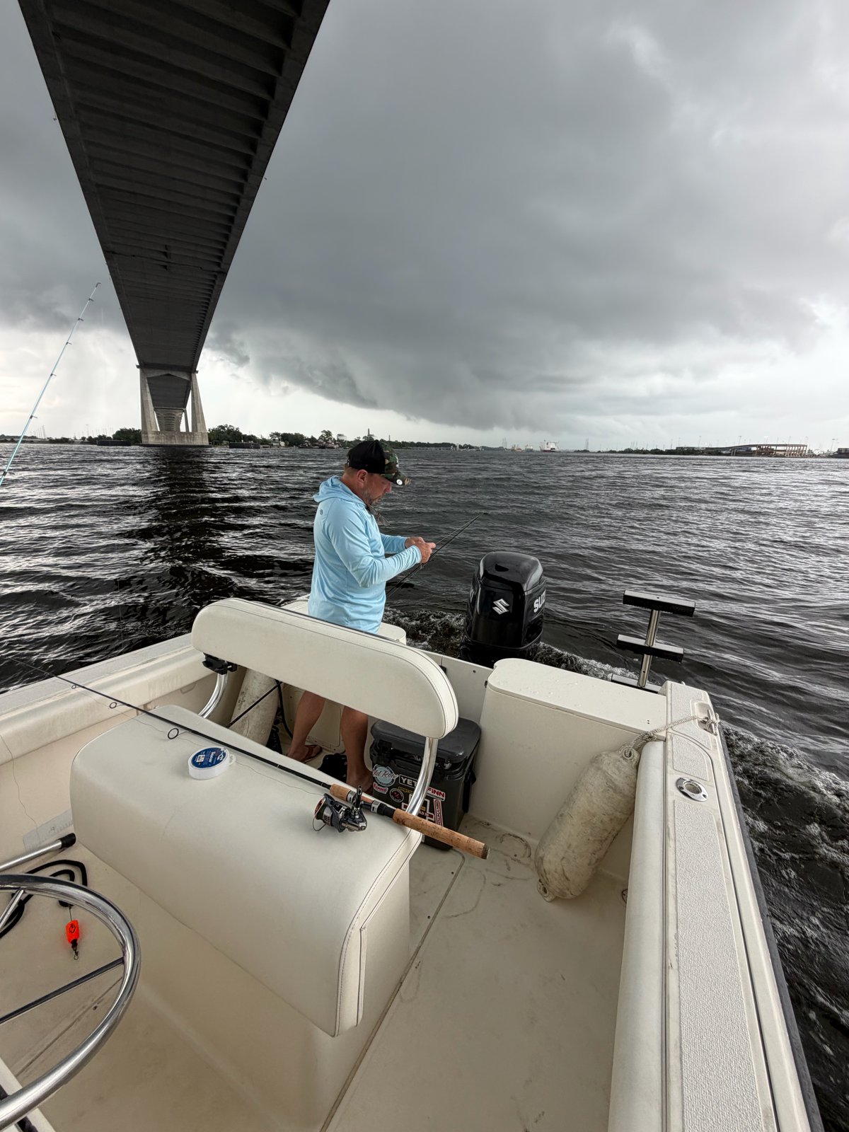
If you fish the First Coast long enough, you figure out that the tide runs the show. The water in the St. Johns River, the Intracoastal Waterway, and the marsh creeks around Jacksonville is almost always moving one way or the other, and the fish move with it. Here's how I think about tides and currents before I head out, and the free official tools I lean on to plan.
Start with the right NOAA station
NOAA's Tides & Currents site publishes free tide predictions for dozens of stations around Jacksonville. The main one near the mouth of the river is Mayport (Bar Pilots Dock), station 8720218, and NOAA's published datums for it put the mean tide range there at about 4.5 feet.
Here's the catch: most of us aren't fishing at the Mayport dock. NOAA also lists prediction stations up the river and back in the marsh, including Dames Point, the Southbank Riverwalk downtown, the I-295 Buckman Bridge, Sisters Creek, and Pablo Creek at the ICW bridge. Pick the station closest to where you'll actually wet a line, not the one at the inlet.
The tide runs late up the river
NOAA's predictions for Wednesday, October 14, 2026, show how big the difference can be. The late-morning high tide is predicted at 11:47 a.m. at Mayport, 12:27 p.m. at Dames Point, 1:30 p.m. at the Southbank Riverwalk, and 2:53 p.m. at the Buckman Bridge. That's about three hours between the inlet and the Buckman. The swing shrinks too: Mayport's predicted rise from the early-morning low to that high is about 4.5 feet, while at the Buckman it's under a foot. Plan an upriver trip off the Mayport tide and you can be hours off.
Flood, ebb, and slack
A tide chart tells you how high the water is. What I really care about is which way it's moving. NOAA explains that when a tidal current moves toward land it "floods," and when it moves back toward the sea it "ebbs." In coastal rivers and estuaries like ours, there's a short slack period as the current turns, which NOAA says can last from seconds to several minutes and generally coincides with high or low tide.
The moon matters as well. NOAA notes that around the full and new moon, tidal currents run strong (spring currents), and around the first and third quarter moons they run weak (neap currents). On a strong current you'll need more weight to hold bottom. FWC's advice is to use a weight heavy enough to beat the current, but the lightest one that still gets your bait down (FWC).
Incoming vs. outgoing in the marsh
FWC's tips for fishing the flats line up well with how I think about our marsh. The incoming tide, several hours before high, can be the better window because many fish gather closer to shore. On the outgoing tide, schools get pushed off the shallows toward deeper water, which gives you another shot at them (FWC). In the marsh, that means working the grass edges and shorelines as the water floods in, then shifting to creek mouths, drains, and deeper bends as it pulls back out.
FWC also says salt marshes are covered by tidal water on a regular basis, and the best spots have bottom structure like shells, oysters, rocks, or flooded vegetation. Watch for birds diving, bait leaping, and fish breaking the surface or pushing wakes (FWC). Keep an eye on your depth as the tide drops, too. FWC asks boaters to learn the waterways they travel so they don't damage their boats or oyster reefs and seagrass beds.
Predictions aren't promises
Tide tables are predictions, and weather can push the real water level around. NOAA says strong offshore winds can move water away from the coast and exaggerate low tides, while onshore winds can pile water up and nearly wipe out a low. High-pressure systems can mean exceptionally low tides, and low-pressure systems are often tied to tides much higher than predicted (NOAA).
For the river itself, NOAA runs the St. Johns River Operational Forecast System, a model that produces hourly nowcasts and forecasts four times a day of water levels and currents. NOAA describes it as model guidance, so I treat it as one more tool alongside the tide table and what I can see on the water.
Respect the current
Moving water is what makes the fishing good, and it also deserves respect. Wear your life jacket. When you release a fish that needs a minute, FWC says you can revive it by letting the current push water over its gills or by easing the boat in and out of gear while you hold it in the water (FWC). FWC also recommends keeping detailed notes on your good days. I'd add the NOAA station you used, the tide stage, and the wind, because over time those notes become your own local tide book.
Teaching someone to read the water is one of my favorite parts of getting veterans out with The Calm Seas Project. If you want to learn alongside us, our veterans fishing weekend in Jacksonville is coming up in November. Before you keep anything, check the current FWC saltwater regulations, and for sheepshead, redfish, and trout rules, see my sheepshead post. See you on the water.
Sources: NOAA: Mayport (Bar Pilots Dock) station · NOAA: Mayport datums · NOAA: Tide predictions · NOAA: Tidal currents · NOAA: What affects tides · NOAA: SJROFS · FWC: Saltwater fishing tips · FWC: Marine habitats